
LEAP is an acronym for Limitless Exploration/Advanced Pace. A state-supported program, LEAP is designed to establish and create large (1,000-acre+) tracts of land, often called “mega-sites,” and make them shovel-ready for development.
The IEDC believes the creation of LEAP mega-sites will help the State of Indiana compete for the ample corporate investment opportunities that require such sites. The first LEAP site under development, designated as the LEAP Lebanon project site, is just south of Greater Lafayette along I-65 in Lebanon, Indiana.
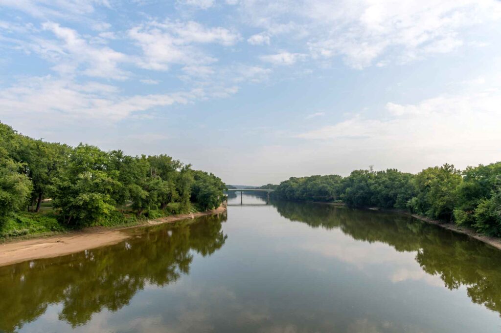
To address the anticipated water needed for LEAP Lebanon and many prospective projects requiring a mega-site, the IEDC began investigating the Wabash River alluvial aquifer system, just west of Lafayette, as a potential water source. Initial test wells were drilled, and engineering feasibility studies took place to study the possible paths and costs associated with building a 45-mile pipeline from Tippecanoe County’s Wabash River aquifers to the LEAP Lebanon project site.
Governor Holcomb halted the initial IEDC-funded studies in November of 2023, and the responsibility for more significant and broader-ranging water studies was assigned to the Indiana Finance Authority (IFA), which has experience producing such studies in other parts of the state. In April of 2024, the IFA funded two new studies for adjacent regions, the North Central Indiana Region and the Wabash Headwaters Region.
Stantec Consulting Services conducted the North Central Indiana Regional Water Study, which includes most of Tippecanoe County and 14 other counties. The IFA also commissioned Jacobs Engineering Group to study the Wabash Headwaters Region, which includes 10 Indiana counties from NW Tippecanoe County to the Ohio state line.
The WSC takes a protective stance on all proposed projects and policies until the long-term impacts on our community’s environment and economy are known and research-informed decisions can be made.
The possible impacts of moving large quantities of groundwater from one watershed to another watershed are currently unknown. Multiple studies are underway to assess its potential ramifications.
One pump test on the Wabash River’s alluvial aquifer, funded by the Indiana Economic Development Corporation (IEDC) and conducted by Intera, has been completed. The Greater Lafayette Region Water Stewardship Committee commissioned an independent peer review of the Intera study. Conducted by Haley & Aldrich, a Boston environmental and engineering consultancy, the peer review it showed predicting the sustainability of large withdrawals from the Wabash River’s alluvial aquifers was beyond the scope of the Intera study.
The Indiana Finance Authority (IFA) is developing two studies on the water supply in Indiana’s upper Wabash and north-central regions. The information will soon be publicly available.
The Indiana Economic Development Corporation says LEAP Lebanon could create new jobs in future-focused industries like microelectronics, leading to additional job opportunities in high-wage fields near Greater Lafayette.
A relatively shallow aquifer comprising unconsolidated material deposited by water (clay, silt, sand, gravel), typically occurring adjacent to rivers and in buried paleochannels.
The legal right to pass through or use a specific strip of land for the construction and maintenance of infrastructure.
A geographic area of land where all surface water drains to a common outlet, such as a river, lake, or ocean. It includes the surrounding land and the network of rivers, streams, and water bodies within it.